Posts
July 29, 2024
14 min read
Exploring different ways to make sense of OpenStreetMap data.
March 10, 2024
11 min read
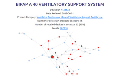
Uncovering medical device ancestry from the FDA's 510k data and creating a free website for exploring it.
February 19, 2024
7 min read
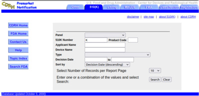
Writing userscripts to optimize my data entry workflow with the FDA's 510k database.
June 19, 2023
6 min read
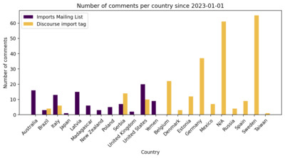
Comparing two different channels that OpenStreetMap contributors use to discuss data imports.
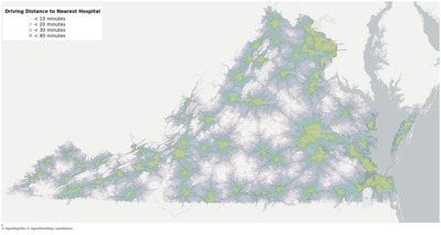
April 3, 2023
15 min read
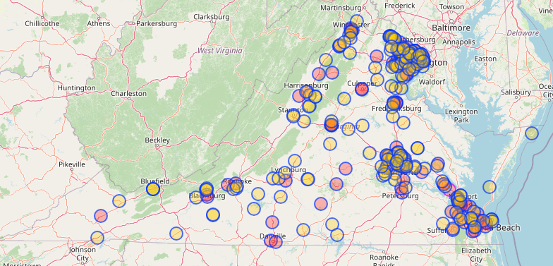
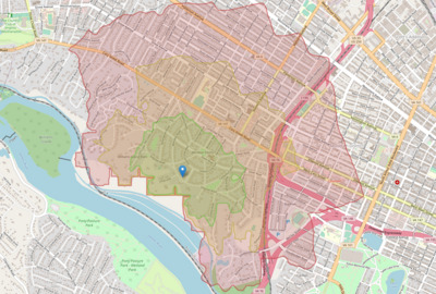
Using OpenStreetMap data to craft a self-hosted interactive map of hospital accessibility in Virginia.
February 16, 2023
8 min read
My reflections on making a stateful webapp at minimal cost, using Python, NextJS, and PostgreSQL.
December 11, 2022
8 min read
Improving my self hosted maps stack by moving to Headway.
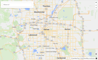
November 20, 2022
9 min read
Self hosting a software stack to replace Google Maps on an unused gaming PC.
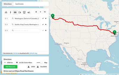
October 20, 2022
19 min read
Measuring urban walkability using isochrone maps and Valhalla on openstreetmap data
August 21, 2022
9 min read
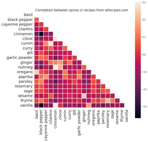
Finding trends in a dataset of 91,000 recipes from allrecipes.com
July 13, 2022
15 min read
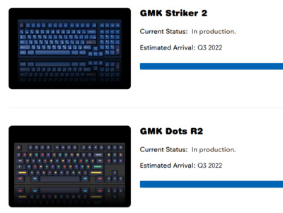
Evaluating the accuracy of Novelkeys.com's delivery estimates using beautifulsoup and matplotlib
June 25, 2022
9 min read
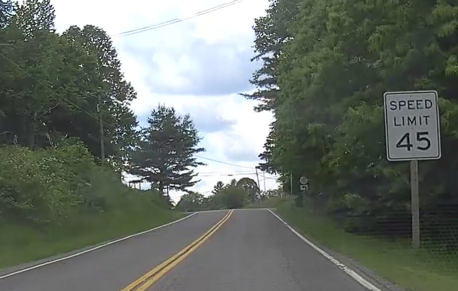
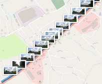
Finding Missing Speed Limits using a pipeline with OCR and PostGIS
June 8, 2022
8 min read
Searching for OpenStreetMap features with dashcam imagery enhanced with OCR